Titan data, made findable
Saturn's largest moon, mapped and ready to open.
A plain-language guide to the seven public data products from the Hayes Research Group at Cornell, most of them made from Cassini's radar views of Titan. Find the right one, see what is inside, and follow the steps to open it in ArcGIS, QGIS or JMARS.
Three ways in
Where are you starting from?
The map of the data
Start from what you want to do
Tasks on the left, the products that answer them on the right. Point at a task or a product, or move to it with the Tab key, to trace the lines.
Read the diagram as a list
- See what Titan's surface looks like
- Map rivers and channels
- Measure heights and slopes
- Study the polar lakes and seas
- Start from the original radar swaths
- Make a map of a region for a class project
- Check which radar passes cover a place
- Compare surface change on a comet
Explore Titan in your browser
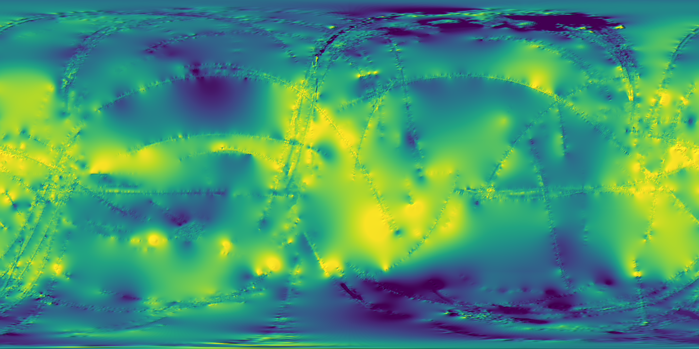
Titan's global topography on a map in Titan's own longitude and latitude. Move the cursor to read coordinates. Nothing to install.
Ask from your AI tool
Connect Claude or any MCP client and ask which product fits your question, what files it has right now, and how to open it.
claude mcp add --transport http titan https://titan.swapniltamse.com/mcpProduct facts come from the Hayes Research Group data products page and the archive listings on data.astro.cornell.edu, checked on 2026-10-07. The plain-language summaries are mine. Each product page links to the original record.